Geospatial maps
Map guidelines
ArcGIS Pro guide
TxDOT maintains geospatial mapping standards and best practices to ensure consistency and clarity across all mapping products. Adhering to these guidelines supports uniform design, improves usability, and promotes effective communication.
Map guidelines
Best practices
Reduce clutter
Remove features that are not relevant or necessary to convey the purpose of the map. Busy features that do not contribute to the purpose of the map should be removed.
Reduce contrast
Choose muted colors for basemap features that do not draw the eye away from the subject. Basemap features are only there to provide context. They should never distract from the primary focus of the map, but be available for reference, if needed.
Reduce labels
Remove unnecessary labels to reduce visual clutter. For example, when mapping a city, label only the streets needed to provide context—such as major roads or key routes. Avoid labeling every street, as this can overwhelm the map and obscure important information.
Use authoritative data sources
Whenever possible, use authoritative data when creating maps. An authoritative dataset is recognized as the most reliable and trusted source for a particular type of information. These datasets are typically statewide in scope and are relevant across the entire organization, ensuring consistency and accuracy in mapping products.
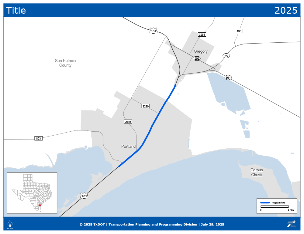
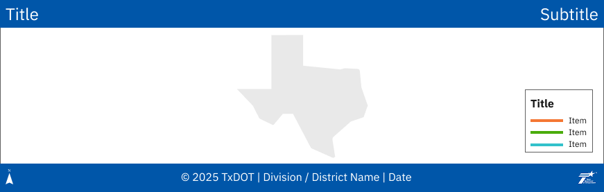
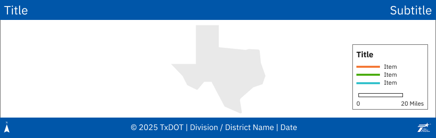
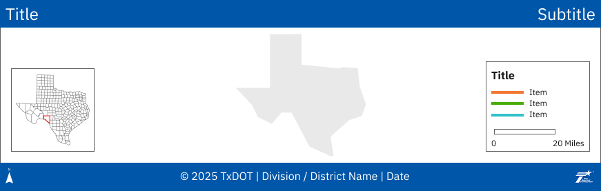
Standardized map elements
Map frame

- 1 pt, neutral gray border on map
Neutral gray (Gray 60)
HEX: #616161
RGB: 97 / 97 / 97
Header

- TxDOT Primary Blue (Blue 50) header bar
- No border or outline on header bar
- Title on the left
- Subtitle on the right
- Examples include descriptive subtitle, year, district, etc.
- IBM Plex Sans
- When IBM Plex Sans is unavailable, use Verdana. Verdana is native to Windows and MacOS.
- TxDOT White font color
- No text decorations (e.g., bold, italics, underline)
- Centered vertically and spaced evenly from margins
- No fixed dimensions for header and footer bars — use cartographic judgment to size them proportionally for visual balance
Primary Blue (Blue 50)
HEX: #0056a9
RGB: 0 / 86 / 169
White
HEX: #FFFFFF
RGB: 255 / 255 / 255

IBM Plex Sans Regular
IBM Plex Sans
*Alternatively, use Verdana
For additional guidance on TxDOT’s official color palette, refer to the Color Guidelines in the Digital Design System.
Footer

- TxDOT Primary Blue (Blue 50) footer bar
- No border or outline on footer bar
- Copyright, TxDOT, District or Division, Date
- IBM Plex Sans
- When IBM Plex Sans is unavailable, use Verdana. Verdana is native to Windows and MacOS.
- Current TxDOT vertical white logo
- North arrow
- Recommended for local, regional, and district maps. If the map represents the entire state, a north arrow is not required.
- TxDOT White font color
- No text decorations (e.g., bold, italics, underline)
- Centered vertically and spaced evenly from margins
- No fixed dimensions for header and footer bars — use cartographic judgment to size them proportionally for visual balance
Primary Blue (Blue 50)
HEX: #0056a9
RGB: 0 / 86 / 169
White
HEX: #FFFFFF
RGB: 255 / 255 / 255
TxDOT vertical white logo
IBM Plex Sans Regular
IBM Plex Sans
*Alternatively, use Verdana
Accessing the logo
- Employees can access the TxDOT logo from the organization's intranet.
- Vendors should request the logo from their TxDOT point of contact.
Draft watermark

- When the map is a draft – not to be distributed or for publication – use a draft stamp
- TxDOT Warning (Yellow 50) font color
- Text: “DRAFT”
- Optional subtext: “FOR REVIEW ONLY”
- Optional “FOUO” For Official Use Only – sensitive, confidential, or regulated data maps – red
Warning (Yellow 50)
HEX: #F2CE1B
RGB: 242 / 206 / 27
Legend
- Do not use the title of "Legend." If you cannot decide on a clear title for a legend, it may not require one at all.
- 1 pt, neutral gray border (matches map frame)
- TxDOT White background
- TxDOT Gray 100 font color
- Evenly spaced from map edges
- For a cleaner experience, optionally use no border or background when the legend is placed in an unclutter space on the map, such as in the ocean.
- May include scale bar, disclaimers, descriptions, or other relevant information
- Use whole number increments (e.g., 1 mile, 5 miles, 30 miles)
Neutral gray (Gray 60)
HEX: #616161
RGB: 97 / 97 / 97
White
HEX: #FFFFFF
RGB: 255 / 255 / 255
Gray 100
HEX: #1A1A1A
RGB: 26 / 26 / 26
Scale
- Use a solid white scale bar without subdivisions, with the units label (e.g., "Miles") placed after the bar
- TxDOT Gray 100 outline and font color
- Verify that the scale bar does not overlap other map elements
- Ensure a scale bar is present for each map inset where the inset uses a different scale than the main map frame
Map insets
- 1 pt, neutral gray border (matches map frame)
- TxDOT White background
- Evenly spaced from map edges
- When more than one inset is present, maintain the same spacing between each and stack toward the outer edges of the map pane.
- Locator map
- State of Texas
- No surrounding states
- Use neutral gray county or district boundary for context
- Area of interest outline in TxDOT Red 50
- No scale bar, north arrow or title
- State of Texas
- Map inset title and scale bar
- Only use a scale bar when the scale of the inset does not match the scale of the main map and other insets.
- Neutral gray font and matching gray scale bar
Neutral gray (Gray 60)
HEX: #616161
RGB: 97 / 97 / 97
White
HEX: #FFFFFF
RGB: 255 / 255 / 255
Gray 100
HEX: #1A1A1A
RGB: 26 / 26 / 26
Red 50
HEX: #D90D0D
RGB: 217 / 13 / 13
Symbology for map features and layers
- When symbolizing map layers that are the focus of the map – as opposed to background/basemap features – strive to use aesthetically pleasing, modern-looking color palettes. For simple features and/or simple maps without a lot of complexity, try some of TxDOT's data visualization colors.
Publishing to ArcGIS online
Public sharing guidelines
Have data, maps, or apps that need to be shared with the public? Employees or contractors creating maps for the public are responsible for ensuring all guidelines are followed.

If you are publishing a feature service or web map for TxDOT, please refer to the ArcGIS Online Public Sharing Checklist. Contact TxDOT GIS for a copy of the checklist and to set up a meeting to ensure the data is ready to be shared publicly.
Metadata standards
Metadata is data about data. You may not see it immediately when you open a map or add a layer, but it's important for understanding the meaning of the item. The following is a summary of the metadata to be filled out for all ArcGIS Online and Create Portal items. For a complete list of required metadata, please see the link below.
- A descriptive title
- A short item summary
- A thumbnail to help users visualize the product
- A description that expands on the who, what, when, where, and why of the item
- A populated Terms of Use section
- Assign any applicable categories and tags to make it easier for users to search for this data
- Credits

Please reference the TxDOT GIS Metadata Standards before sharing your map/app publicly.
Resources
ArcGIS Pro templates
TxDOT has preconfigured ArcGIS Pro templates to help quickly start new GIS projects with consistent TxDOT branding, including layouts.

You can obtain templates for ArcGIS Pro by contacting TxDOT GIS.
Data integration standards
Are you a consultant or contractor that will be creating ArcGIS Online content for TxDOT? The GIS Data Integration Companion Guide walks you through:
- Requesting TxDOT account access
- Requesting a GIS account
- Requesting GIS training

The GIS Data Integration Companion Guide is your guide to working with consultants & contractors on geospatial deliverables. Contact TxDOT GIS for access or more details.
GIS deliverable standards
This document provides guidance for the creation, delivery, and utilization of geospatial data and products within TxDOT. Adherence to these standards ensures data consistency, quality, and interoperability, supporting efficient delivery of GIS data and products.

The TxDOT GIS Deliverable Standards provide standards for preparing and submitting geospatial data.