
The map guidelines establish standards for TxDOT maps. These standards ensure that maps are clear, accurate, and accessible, while maintaining a cohesive design across various projects. By following these best practices, we aim to improve communication, enhance data visualization, and support decision-making in and outside the organization.
Why is map design important?
A thoughtfully designed map reflects a brand’s voice and visual language, creating a cohesive and trustworthy experience. It also enhances spatial analysis by presenting data in a clear, meaningful way that supports smarter decisions. Most importantly, accessible map design ensures that everyone—regardless of ability—can navigate and understand the information, making inclusivity a core part of the user experience.
Map types
Wondering which standards apply to your mapping tool? Click a card below to explore best practices for each.


Best practices
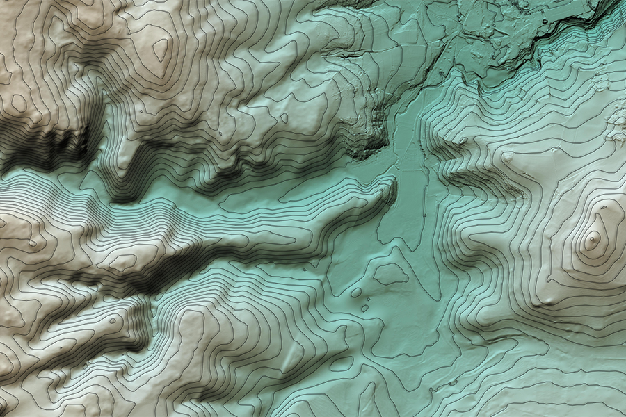
TxDOT maintains geospatial mapping standards and best practices to ensure consistency and clarity across all mapping products. Adhering to these guidelines supports uniform design, improves usability, and promotes effective communication.
Simplify for purpose
Remove features that are not relevant or necessary to convey the purpose of the map. Busy features that do not contribute to the purpose of the map should be removed.
Establish visual hierarchy
Choose muted colors for basemap features that do not draw the eye away from the subject. Basemap features are only there to provide context. They should never distract from the primary focus of the map, but be available for reference, if needed.
Enhance readability
Remove unnecessary labels to reduce visual clutter. For example, when mapping a city, label only the streets needed to provide context—such as major roads or key routes. Avoid labeling every street, as this can overwhelm the map and obscure important information.