Access planning for rapid growth in rural communities

The Odessa District developed a data-driven approach to manage roadway access along rapidly growing rural corridors impacted by energy sector development. By combining traditional traffic and crash data with connected vehicle and in-vehicle monitoring data, the district can better evaluate and improve driveway access points. This approach supports safer, more efficient roadway operations while balancing the needs of property owners and transportation users. The innovation improves safety outcomes and provides a scalable model for managing access in similar high growth regions.
Explore TxDOT's Innovation CatalogChallenge
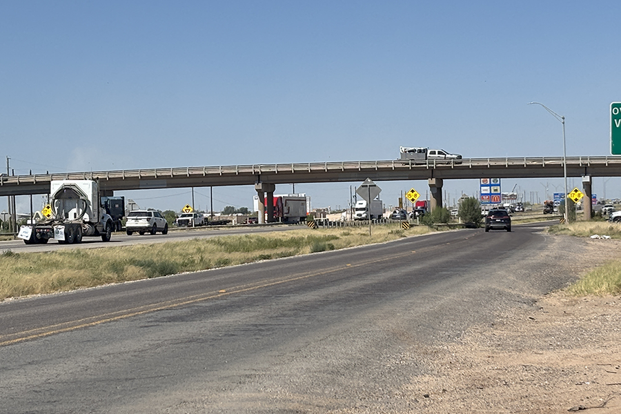
Rapid growth associated with energy sector development has led to a high number of driveway access points along key corridors, increasing crash risks and congestion. Balancing the need for property access with roadway safety and efficiency has become increasingly difficult. Traditional methods for evaluating access points lacked the ability to accurately capture rapidly changing usage patterns and identify higher-risk locations, making it challenging to prioritize improvements.
Solution
The district implemented a comprehensive evaluation process that combines traditional traffic and crash data with connected vehicle and in-vehicle monitoring system data. This data was used to analyze access patterns along a major corridor and identify opportunities to consolidate driveways and improve access point design. The analysis supported development of recommendations aligned with access management policies, helping ensure safer and more efficient roadway operations.
Benefits
- Improves safety by reducing conflict points and crash risk
- Enhances traffic flow and reduces delays
- Supports more efficient and targeted infrastructure investments
- Reduces need for time-consuming manual data collection
- Provides a balanced approach to access for property owners and roadway users
Additional key information
- Integration of traditional and advanced data sources for access analysis
- Corridor-level evaluation of driveway locations and usage
- Data-driven recommendations for driveway consolidation and design improvements
- Alignment with access management policies and standards

- Evaluated access points along a major corridor using multiple data sources
- Identified high-risk and high-demand locations for improvement
- Developed design and policy recommendations for driveway consolidation
- Conducted mapping and analysis of functional roadway classifications
- Coordinated with stakeholders to support implementation

- Applicable to other rural areas experiencing rapid growth
- Adaptable for corridors with high access density
- Supports broader use of data-driven access management across TxDOT