Project history
South Padre Island Second Access Project
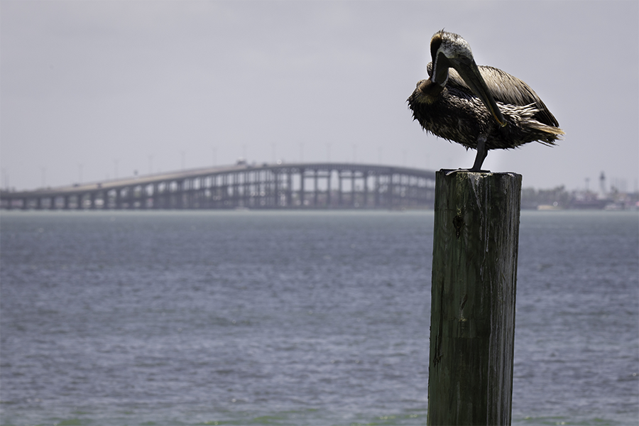
South Padre Island is located at the southern tip of Texas, on the eastern edge of Cameron County, approximately eight miles north of the Mexican border. The island is approximately 34 miles long from the Port Mansfield Channel to Brazos Santiago Pass at the southern end of the island and approximately one-half mile wide within the City of South Padre Island and approximately three miles wide at its widest point.
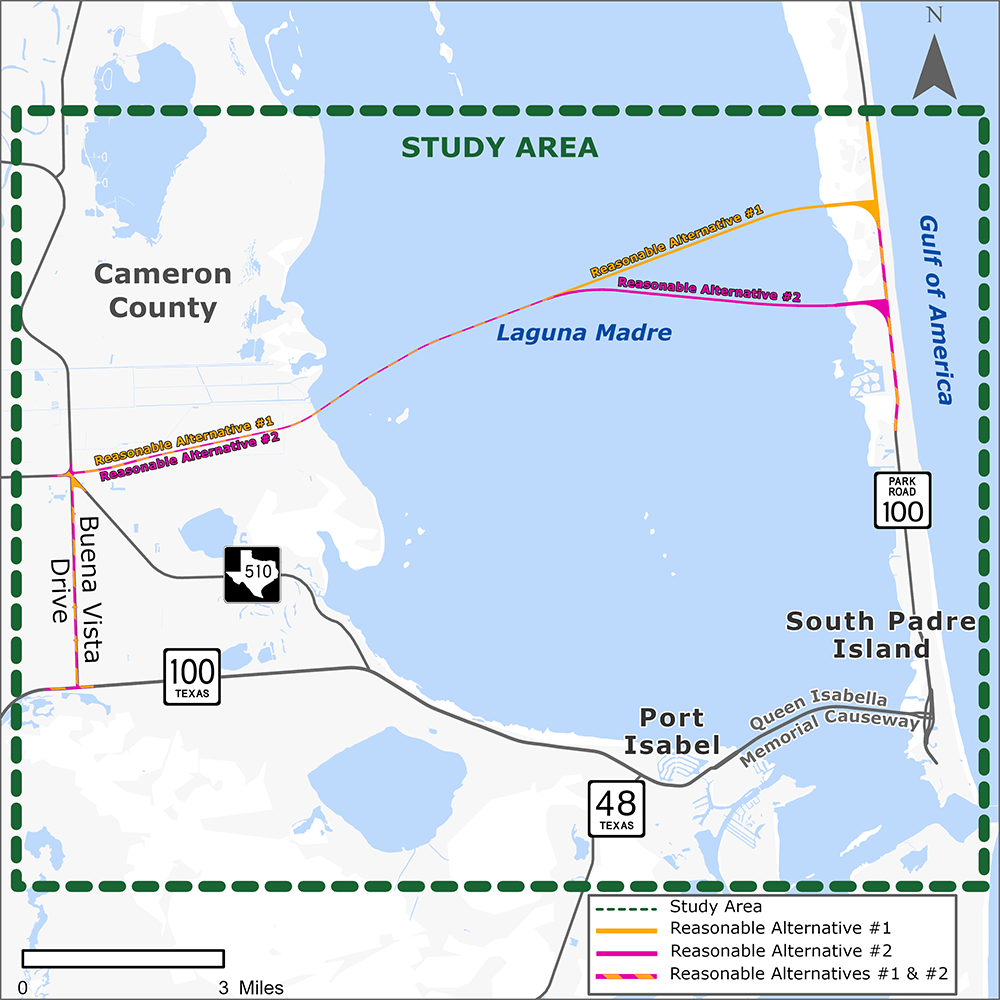
The Queen Isabella Memorial Causeway is the only roadway access to/from South Padre Island which causes safety and mobility challenges during emergency evacuations. There are three major roadways that feed traffic onto the Queen Isabella Memorial Causeway and South Padre Island: FM 510, SH 100 and SH 48.
| 1954 | Construction of the original Queen Isabella Causeway which the center section was subsequently removed, and the remaining sections were transferred to Texas Parks and Wildlife and used as a fishing pier. |
| 1974 | Construction of the current Queen Isabella Memorial Causeway. |
| 1994 | A small plane crashed into the causeway and forced closure which caused safety and mobility challenges for people needing access to/from South Padre Island. |
| 1997 | The Texas Department of Transportation (TxDOT) was directed (Section 1.29 of Texas SB370) to complete a study of alternative routes from the Texas mainland to South Padre Island. The Texas Transportation Institute identified possible crossing locations. |
| 2001 | Queen Isabella Memorial Causeway collapsed due to barges crashing into the bridge which caused fatalities and closure for two months. |
| 2008 | Town of South Padre Island Comprehensive Plan - reiterated the need for an alternate access between the Texas mainland and South Padre Island. |
| 2008 | Notice of Intent was published in the Federal Register/Texas Register and the Cameron County Regional Mobility Authority (RMA) started to prepare a Draft EIS. |
| 2008/2009 | Agency and Public Scoping Meetings, Workshops, and Technical Working Groups were conducted. |
| 2012 | A Draft EIS was published, and a Public Hearing was held. The 2012 Preferred Alternative was proposed using tolls. |
| 2017 | South Padre Island Second Access Project was placed on hold due to the legislature’s commitment to reduce the use of tolls as a funding source. |
| 2023 | The Project sponsor moved from Cameron County RMA to TxDOT. The Texas Transportation Commission designated SH 104 to the state highway system. |
| 2024 | TxDOT restarted this project. Due to the passage of time and updated regulations/guidance a Supplemental Draft EIS is being prepared to consider non-tolled alternatives. |