Bicycle trails and maps
Skip to main content

Bicycle trails and maps

The following is a list of local bikeway maps. Where standalone bikeway maps are not available, bicycle planning maps that show existing and future bikeways are included. The list is not comprehensive. Ask your local city, county or Metropolitan Planning Organization about bikeways in your area. Local or regional governments that have bikeway maps available on their website may contact us and request to be added to the list.

Bikeway maps and bicycle planning maps

Location GIS map Info
Texas state Parks Bicycle Trails GIS Texas state Parks Bicycle Trails Texas state Parks Bicycle Trails
Amarillo    
Austin GIS Austin  
Beaumont    
Brownsville GIS Brownsville Brownsville
Cameron County GIS Cameron County Cameron County
College Station   College Station
Corpus Christi GIS Corpus Christi Corpus Christi
Dallas/Fort Worth GIS Dallas/Fort Worth Dallas/Fort Worth
El Paso GIS El Paso  
Georgetown GIS Georgetown Georgetown
Harlingen   Harlingen
Houston GIS Houston Houston
Killeen-Temple   Killeen-Temple
Longview   Longview
Lubbock   Lubbock
Midland   Midland
Nacogdoches GIS Nacogdoches Nacogdoches
New Braunfels GIS New Braunfels New Braunfels
Rio Grande Valley GIS Rio Grande Valley  
Round Rock GIS Round Rock Round Rock
San Angelo GIS San Angelo  
San Antonio GIS San Antonio San Antonio
San Marcos   San Marcos
Tyler   Tyler
Victoria   Victoria
Waco GIS Waco Waco
Wichita Falls   Wichita Falls
Cyclists on bicycle trail
Bicycle Tourism Trails Study
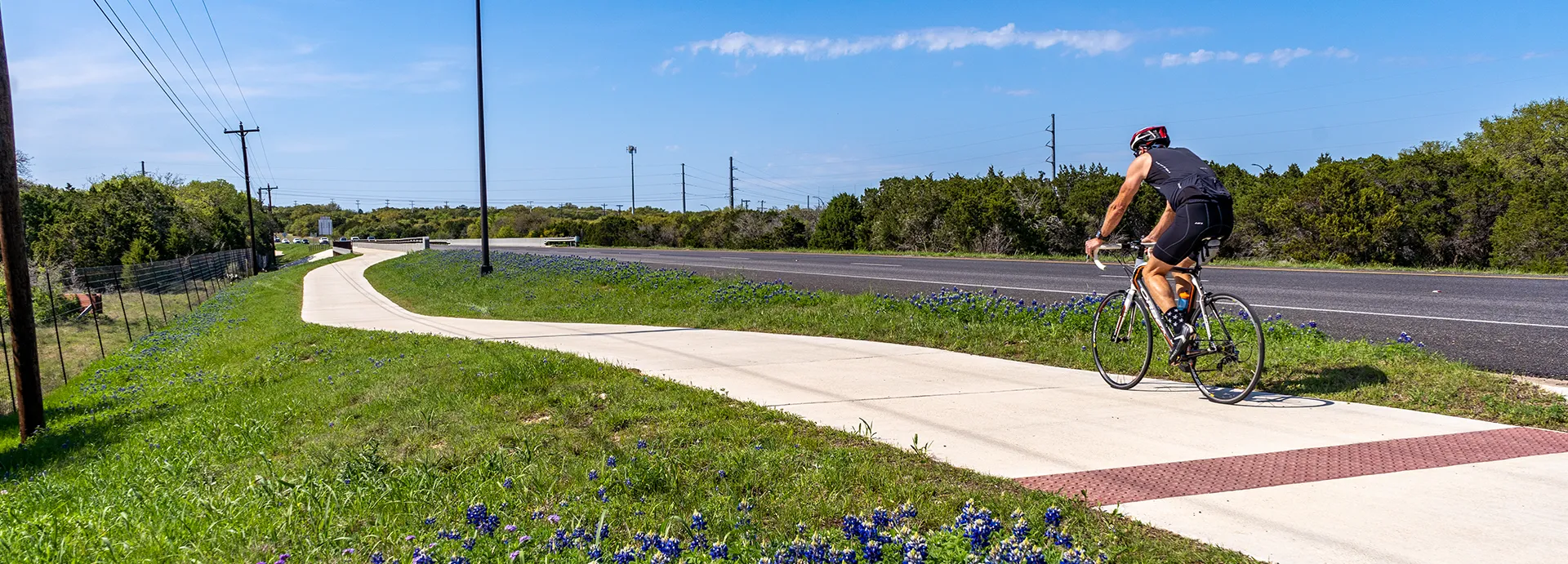
The development of a bicycle tourism network in Texas is envisioned to be a long-term collaborative process built incrementally over many years in partnership with multiple public, private, and nonprofit partners. Opportunities to develop segments may exist where roadway improvements or maintenance is planned.