2026 STAR award winners
At the 2026 Innovation Invitational, local government teams from across the state presented project ideas to solve mobility challenges in their region. The teams received real-time feedback from a panel of experts who considered the projects for the STAR (Smart Transportation and Advanced Roadway) award and an opportunity to receive grants of up to $125,000 from the State Transportation Innovation Council Incentive program.
Winning teams: Team Corpus Christi, Team East Texas, Team Fort Worth
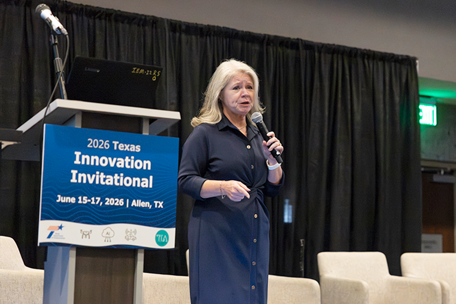
The Port of Corpus Christi proposes transforming the Joe Fulton International Trade Corridor into a smart freight corridor that improves safety, mobility, and operational efficiency during peak grain shipping seasons. The project combines ITS infrastructure, AI-enabled cameras, corridor analytics, and a driver information platform to reduce truck queuing, improve visibility into corridor operations, and support data-driven decision making.
During grain harvest season, trucks serving the ADM grain terminal can queue for hours along the corridor, creating congestion, safety risks, air-quality impacts from idling vehicles, and operational challenges for drivers, farmers, carriers, and terminal operators.
- Corridor traffic monitoring using ITS infrastructure and congestion analytics
- Driver communication platform providing estimated wait times and trip planning information
- AI-enabled cameras to detect truck queues, occupancy, and operational bottlenecks
- Integration with the Port’s Digital Twin to support corridor-wide visibility and decision making
- Reduced truck queue lengths and corridor congestion
- Improved roadway safety and freight mobility
- Lower vehicle idling and emissions
- Increased operational efficiency for terminal operators and freight stakeholders
The approach can be replicated at freight corridors, ports, intermodal facilities, and industrial gateways across Texas. AI analytics, driver information tools, and Digital Twin integration provide a scalable framework for managing recurring freight congestion statewide.
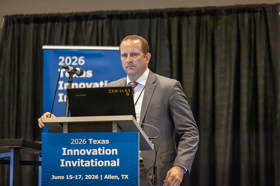
The City of Tyler and partners propose an AI-enabled pavement monitoring system that uses existing municipal fleet vehicle cameras to collect roadway video during routine operations. AI and computer vision tools will analyze the data to identify pavement distresses and generate more frequent, cost-effective pavement condition assessments to support proactive maintenance and improved infrastructure management.
The City of Tyler currently collects Pavement Condition Index (PCI) data every four years using contractor-operated surveys following ASTM D6433 standards. While effective, this process is costly, infrequent, and unable to capture rapidly changing pavement conditions between survey cycles. Municipalities need a more scalable, continuous, and cost-effective approach to pavement monitoring that supports proactive, data-driven maintenance decisions.
- Use existing fleet vehicle cameras to collect roadway video during normal operations
- Apply AI and computer vision tools to detect and classify pavement distresses and utility cuts
- Validate AI-generated results against ASTM D6433 ground-truth surveys conducted by UT Tyler
- Integrate condition outputs into pavement management systems and GIS platforms
- Develop a scalable, vendor-agnostic framework for future regional deployment
- Reduce costs associated with traditional pavement surveys
- Provide near real-time pavement condition updates
- Improve maintenance planning and infrastructure investment decisions
- Enhance accountability for utility-related pavement damage
- Improve roadway safety, mobility, and long-term pavement performance
- Measure system accuracy using correlation and error analysis against PCI survey data
The project is designed as a scalable, transferable model for municipalities across East Texas and Texas statewide. Future opportunities include regional pavement image repositories, predictive deterioration modeling, and integration with broader transportation innovation initiatives, including TxDOT programs.
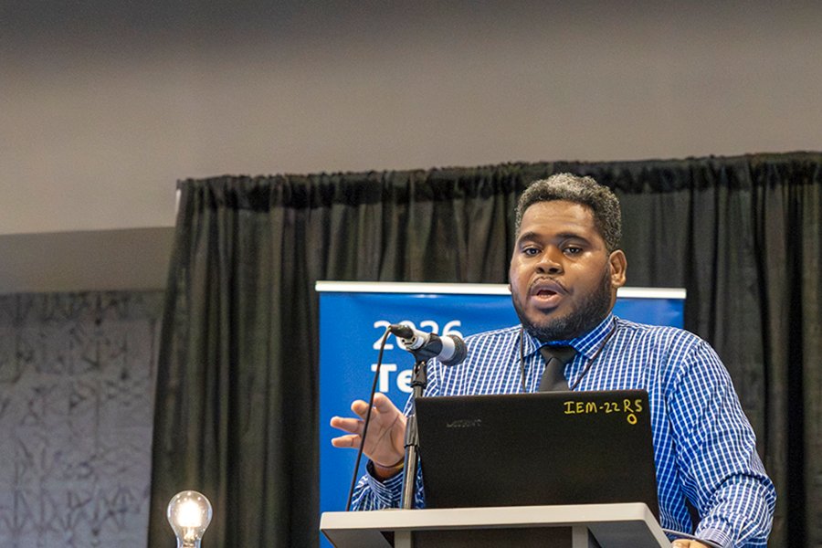
Funded through a USDOT SMART Grant, the City of Fort Worth completed Phase I of an Intelligent Micro-Weather Sensing Pilot to address critical gaps in low-altitude and roadway-level weather data. The project deployed a network of 27 micro-weather sensors throughout the Alliance Texas Mobility Innovation Zone, providing real-time, hyper-local weather information to support autonomous vehicles, advanced air mobility (AAM), freight operations, and roadway users. Data from the sensor network is integrated into a centralized decision-support platform that enhances situational awareness and supports safer, more reliable transportation operations.
Weather conditions can vary significantly across short distances, creating challenges for transportation systems that rely on accurate and timely environmental information. Existing weather monitoring networks often lack the resolution needed to support emerging mobility technologies such as autonomous vehicles, drone operations, and advanced air mobility. The City of Fort Worth identified a need for real-time, hyper-local weather intelligence to improve safety, reliability, and operational decision-making across multimodal transportation systems.
- Deploy a network of intelligent micro-weather sensors
- Collect real-time roadway and low-altitude atmospheric data
- Support autonomous freight operations, drone activities, advanced air mobility, and roadway management
- Develop a scalable foundation for future integration with traffic management and connected vehicle systems
- Improved safety and reliability for autonomous vehicles, advanced air mobility, freight operators, and roadway users
- Enhanced visibility into localized weather conditions affecting transportation operations
- Advancement of Fort Worth’s long-term smart mobility and transportation innovation goals
The project establishes a scalable framework for regional weather-aware transportation operations. The approach is transferable to other Texas communities seeking to support connected, automated, and emerging transportation technologies through enhanced environmental intelligence.
All competing teams
Smart Wrong-Way Driving Detection and Connected Safety Framework for One-Way Work Zones
Presenter: Lucio Gutierrez Garcia
Project Lead: City of Brownsville
Project Abstract: The City of Brownsville proposes deploying an intelligent Wrong-Way Driving Detection and Connected Work Zone Safety Framework to improve safety in temporary one-way work zones. Using radar, thermal imaging, connected warning devices, and real-time communications, the system will detect wrong-way movements and automatically alert drivers, traffic operators, and emergency responders. The project advances TxDOT’s goals for connected infrastructure, proactive safety operations, and scalable smart work zone deployment across Texas.
Technology Areas: Connected Vehicle Technologies (CV2X); Intelligent Transportation Systems (ITS); Smart Work Zones; Transportation Safety; TSMO; Predictive Analytics; Real-Time Data Integration; Decision Support Systems
Partners: City of Brownsville, Cameron County, Law Enforcement, and Fire Department
Project Location: Brownsville, Texas
Challenge Definitions and Background: Nighttime one-way work zones face elevated safety risks, and traditional traffic control measures may not adequately prevent wrong-way entry events. This project deploys an intelligent, connected safety framework that provides real-time detection, warnings, and automated countermeasures to reduce crash risk and improve driver awareness.
Proposed Solution:
- Build interagency systems for emergency coordination and proactive design
- Radar-based directional vehicle detection sensors
- Real-time TSMO and Traffic Management Center notifications
- Dynamic Message Signs (DMS) integration
Expected Benefits and Performance Measures:
- Reduction in potential wrong-way conflict events within work zones
- Enhanced nighttime work zone operational safety
- Emergency Responsiveness: Accelerate detection and dispatch across jurisdictions
Scalability: The proposed framework is intentionally designed as a scalable and replicable smart transportation solution capable of deployment across urban corridors, freight routes, rural highways, bridge projects, and major construction operations throughout Texas.
Presenter: Farhan Butt
Project Lead: City of Denton
Project Abstract: The project proposal focuses on a predictive-mitigation strategy for specific high-injury locations identified in the City of Denton's Vision Zero Action Plan, which was recently adopted by the City Council. This initiative aims to enhance road safety for vulnerable users while also working to reduce crash fatalities and serious injuries by half by 2035 and ultimately to zero fatalities by 2050, in alignment with TXDOT’s Vision Zero plan.
Technology Areas: Predictive Analytics; Transportation Safety; Data Integration; Decision Support Systems; Smart Mobility
Partners: City of Denton; Denton County Transportation Authority (DCTA)
Project Location: City of Denton, Texas
Challenge Definition and Background: Severe crashes are relatively rare events, making them difficult to predict using traditional safety analysis methods. Current practices rely heavily on historical crash data and past High Injury Network patterns, which may not identify emerging risks. As a result, safety investments are often reactive rather than proactive. The project addresses this gap by identifying future risk locations before severe crashes occur.
Proposed Solutions:
- From Reactive Safety Management to Predictive Risk Management
- Integrate behavioral, multimodal, and contextual data with traditional crash analysis to support risk-based prioritization on HIN corridors.
Expected Benefits and Performance Measures:
- Earlier identification of elevated-risk locations
- More proactive safety interventions
- Improved investment prioritization
- Stronger support for Vision Zero implementation
Scalability: The framework can be expanded to additional corridors, jurisdictions, and transportation agencies by incorporating locally available datasets. Its data-driven methodology provides a scalable model for proactive safety management across Texas and beyond.
Presenter: Casey Brown
Project Lead: Evolve Houston (501(c)(3) non-partisan market accelerator)
Project Abstract: Evolve Houston runs community transportation capital like a venture portfolio. Through its Grant Program, Evolve places small microgrants — up to $15,000 — with hyper-local innovators, manages them hands-on to de-risk them, and graduates the scalable winners to infrastructure-scale investment. In four years it has deployed more than $1M across 75 projects — capital that catalyzes roughly 3x in immediate investment value and up to 7x as impact scales. Its clearest proof: a single microgrant that became the Community Connector, now a permanent METRO service.
Technology Areas: Electrification and EV charging; Microtransit and on-demand transit; Data and portfolio analytics; Community
Partners: City of Houston, General Motors, bp, Houston Community Organizations
Project Location: Houston, Texas
Challenge Definition and Background: The most promising community transportation ideas rarely get discovered, tested, or scaled. Corporate and public capital stays parked because small, hyper-local projects are seen as too risky and too costly to vet, fund, and monitor — and the communities with the greatest needs are the hardest for traditional funding to reach. The result is a persistent gap between good ideas and deployed infrastructure. The missing piece is a system that de-risks small bets to uncover innovative projects that can be measured and identified for state-sized solutions.
Proposed Solutions:
- Deploy community capital as a managed portfolio of small microgrants (up to $15K)
- De-risk each project hands-on through in-market testing, vetting, distribution, monitoring, and measurement
- Use performance data to identify scalable winners early
Expected Benefits and Performance Measures:
- Near 100% managed project success in segments traditional funders avoid
- Community Connector – 129,000+ trips with 4.9/5 (33,000+ ratings)
- Measured by dollars deployed, projects funded, people served, follow-on capitol, outcomes delivered.
Scalability: The model is theme- and geography-flexible: the 2026 Road Safety theme and a new rolling application window let any TxDOT district or Texas community replicate it. The only local ingredient is relationships — the method, vetting, and portfolio management travel.
Presenter: Brendy Rincon Troconis
Project Lead: University of Texas at San Antonio
Project Abstract: This project proposes a multidisciplinary initiative to digitally document and preserve Texas transportation corridors and infrastructure using drones, digital surveying technologies, artificial intelligence, and digital twin environments. By combining modern digital technologies with historical and community perspectives, this collaboration seeks to help preserve the transportation corridors that continue to shape Texas and its communities across generations.
Technology Areas: Artificial Intelligence (AI); Digital Twins; Drone Technology; Digital Surveying; GIS & Visualization
Partners: The University of Texas at San Antonio; local and regional transportation agencies; preservation organizations Project Location: San Antonio, Texas and surrounding region
Challenge Definition and Background: Throughout history, transportation corridors have shaped the development of Texas communities. Historic routes, bridges, trails, and highways connected people, cultures, commerce, and ideas across vast territories. Today, modern highways and bridges continue to serve as essential connections between communities, supporting mobility, economic activity, and regional growth. As Texas continues to grow, there is an increasing need to better understand, document, and preserve these transportation corridors for future generations. This project proposes a multidisciplinary initiative that combines engineering, history, digital technologies, and community-oriented preservation strategies to support the long-term stewardship of Texas transportation infrastructure.
Proposed Solutions:
- Use drones and digital surveying tools to capture transportation infrastructure data
- Develop AI-enabled digital twin environments for bridges and transportation corridors to support preservation
- Integrate engineering, historical research, and community perspectives into preservation and planning strategies
Expected Benefits and Performance Measures:
- Improve long-term preservation and stewardship of transportation infrastructure
- Support infrastructure planning, inspection, and asset management efforts
- Create accessible digital records for education, research, and future planning
Scalability: The project is designed as a scalable model for digitally documenting transportation infrastructure across Texas. Future expansion opportunities include broader collaboration with agencies, universities, and preservation organizations.
Presenter: Subasish Das
Project Lead: Texas State University
Project Abstract: The CoCorridor-AI project establishes an interactive 3D digital twin platform and a unified cloud data broker along the I-35 smart corridor to coordinate multi-agency traffic operations in real time. Ingesting data from non-intrusive ITS mainlane sensors and intersection-mounted YOLO edge camera nodes, the system instantly detects anomalies such as flash flooding and multi-vehicle collisions. CoCorridor-AI automatically publishes commuter warnings, dynamically routes traffic around bottlenecks, and triggers adaptive signal timing adjustments in adjacent municipal networks.
Technology Areas: 3D Digital Twin (Mapbox Standard); Computer Vision Edge Analytics (YOLO26); Unified Cloud Brokerage (WZDx & NTCIP standards); Google Maps Immersive Navigation; Intelligent Transportation Systems (ITS) Telemetry.
Partners: Texas State University (AIT Lab), TxDOT Austin District, City of San Marcos, City of Kyle, City of Buda, City of Selma.
Project Location: I-35 Smart Corridor in Central Texas, spanning 46 miles from Buda (Exit 220) through Kyle and San Marcos to Selma (Exit 174).
Challenge Definition and Background: The I-35 corridor through Central Texas is a critical trade and commuter route facing severe congestion, recurring localized flash flooding, and high secondary crash risks. Local municipalities currently operate in data silos, leading to delayed incident response and uncoordinated frontage road signal timings during freeway diversions. This project addresses the lack of real-time, multi-jurisdictional data integration needed to manage incident traffic flow, protect maintenance crews, and warn commuters of active hazards.
Proposed Solutions:
- 3D Digital Twin: Mapbox dashboard tracking real-time flows, incidents, and work zones.
- YOLO26 Edge Nodes: AI camera analytics monitoring conflicts to adapt local signals.
- Cloud Data Broker: Silo-free data sharing using WZDx and NTCIP standards.
- Commuter Alerts: Google Street View coordinate verification and Twitter map dispatches.
Expected Benefits and Performance Measures:
- -25% Secondary Crashes: Real-time warning alerts for bottleneck queues.
- +18% Detour Capacity: Coordinated municipal traffic signal synchronization.
- Instant Verification: Immediate visual check of incidents via map-to-Street View sync.
- Work Zone Safety: In-cab speed alerts and digital-twinned lane closures.
Scalability: Replicable statewide (e.g., I-10, I-45) using open standards (WZDx/NTCIP) and existing camera/sensor networks with zero hardware retrofits.