Interactive visualizations and past surveys
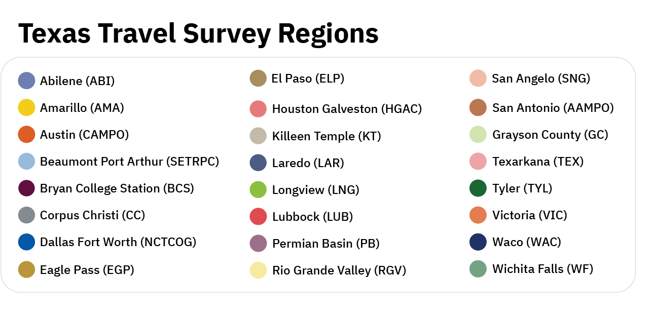
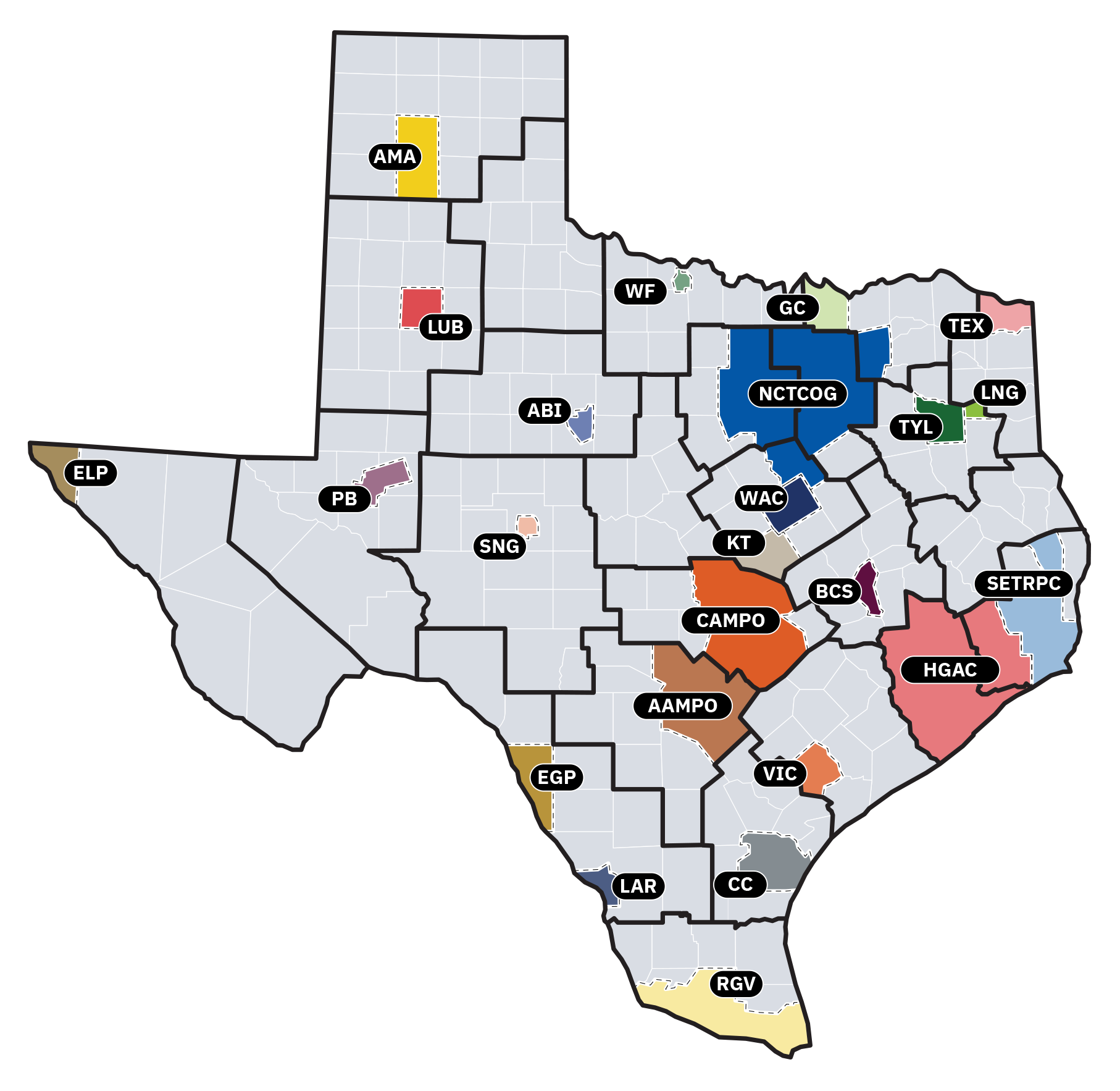
The TxDOT Travel Survey Program conducts travel data collection surveys across the 23 Metropolitan Planning Organizations in Texas on an estimated 10-year revolving cycle. Please refer to the map and legend below to find your location via past surveys and explore findings through interactive visualizations.
Interactive visualizations
External studies reports are also presented via our interactive visualizations for you to view survey data through a three-dimensional interface.
Past surveys
Every 10 years, TxDOT conducts its travel surveys in each MPO region. Here below are the most recent survey reports. They are broken down by location, then by survey type. You may download the pdf report for your reference. If you need earlier reports, please send a request directly to the program manager.