Project milestones
All estimated dates shown are preliminary and subject to change.

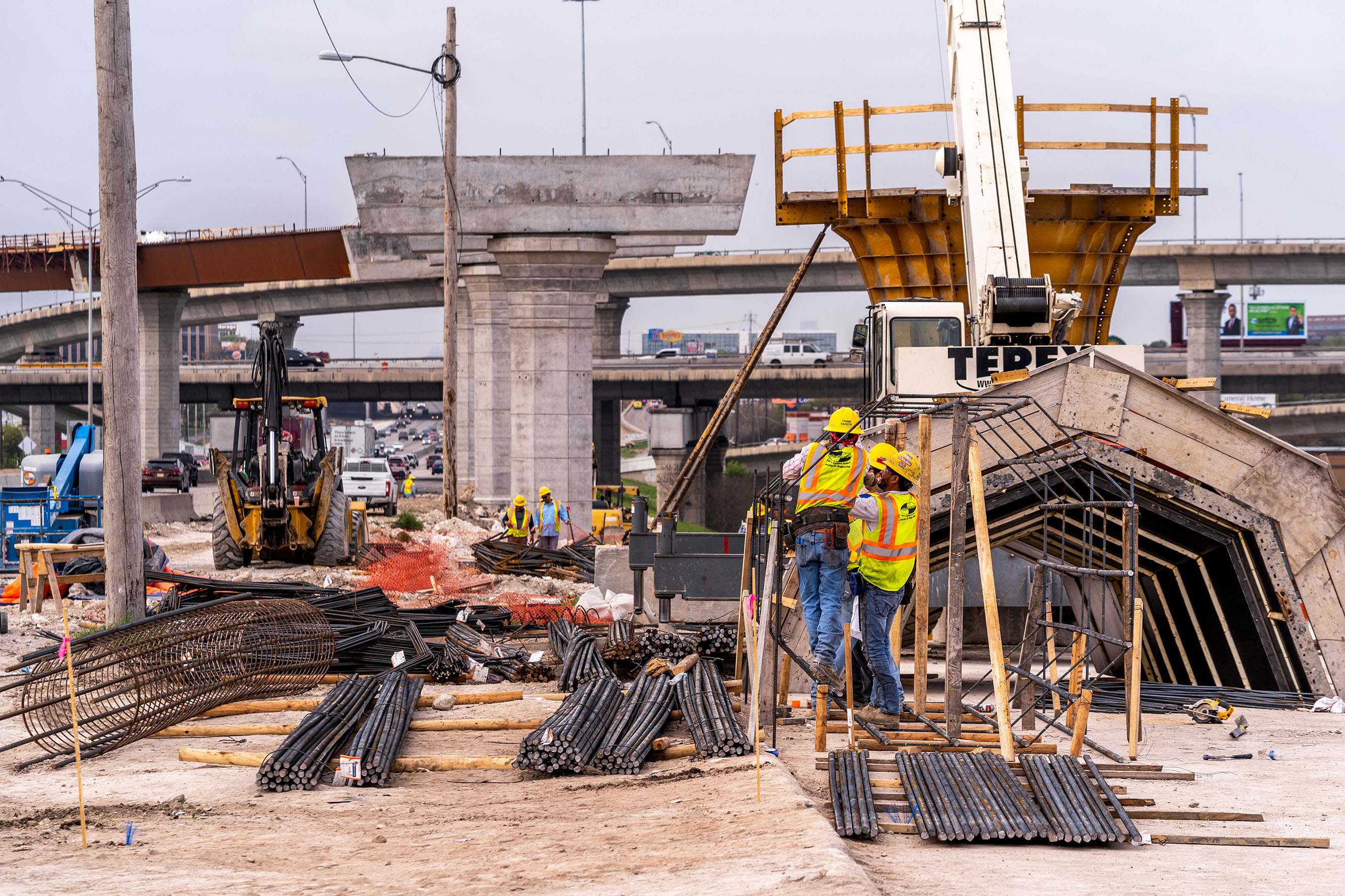
Construction timeline & phasing
All estimated dates shown are preliminary and subject to change.

In order to ensure that pedestrian and bike access to schools is maintained during construction, TxDOT will develop plans during the detailed design phase for traffic control detours of pedestrian and cyclist movements showing the locations of schools adjacent to the project footprint, existing routes traveled by children to these schools, routes during construction, and the anticipated finished condition of pedestrian and cyclist routes after construction on the project is completed.
Where construction of the project will require pedestrian and bicycle detour routes to maintain access to schools, TxDOT commits to bring such designated detour routes up to current standards prior to beginning the associated construction in order to ensure that students, staff, and the public continue to have safe and accessible pedestrian and bicycle paths of travel to project adjacent schools.
TxDOT will design and direct its contractor to maintain non-circuitous sidewalks to maintain safe pedestrian and cyclist access to schools during and after construction.
TxDOT will work directly with schools to develop parent and school bus drop-off and pick-up routes, direct TxDOT contractors to maintain the safe operations of these routes during construction, and inform decisions about appropriate detour routes with the goal of safety and minimizing increased commute times.
TxDOT will maintain communication with school officials for the design of access accommodations during the construction phase.
TxDOT will provide an ombudsman for the schools to communicate concerns that arise during construction to TxDOT in order for timely resolution of concerns.
Once construction starts, this website will be updated to inform the public about bicycle and pedestrian access including maps.
Where construction of the project will require pedestrian and bicycle detour routes to maintain access to schools, TxDOT commits to bringing such designated detour routes up to current standards prior to beginning the associated construction in order to ensure that students, staff, and the public continue to have safe and accessible pedestrian and bicycle paths of travel to project adjacent schools.
Construction is anticipated to begin in 2024 along St. Emanuel between IH 45 South and Buffalo Bayou to install drainage improvements for a portion of the NHHIP. Please report concerns about construction activities by emailing us at hou-piowebmail@txdot.gov, calling us at 713-802-5076 or visiting us at 7600 Washington Ave. Houston, TX 77007.
TxDOT will obtain METRO's review and comment of the construction work phasing and sequencing of light rail facilities and operations that are impacted by construction.
TxDOT will obtain METRO's review and comment in instances where a bus stop needs to be temporarily relocated during construction.
TxDOT will provide fourteen (14) calendar-day public notices of bus and light rail service disruptions due to construction activities.
TxDOT will post notices of bus and light rail service disruptions on this website and will coordinate with METRO for notices to be posted on METRO's website.
This website will be updated to provide notices of disruption from construction work including bus reroutes, road closures and detours, trail closures, demolitions, and late-night activity.
Please use the following link to subscribe to receive construction alerts.