
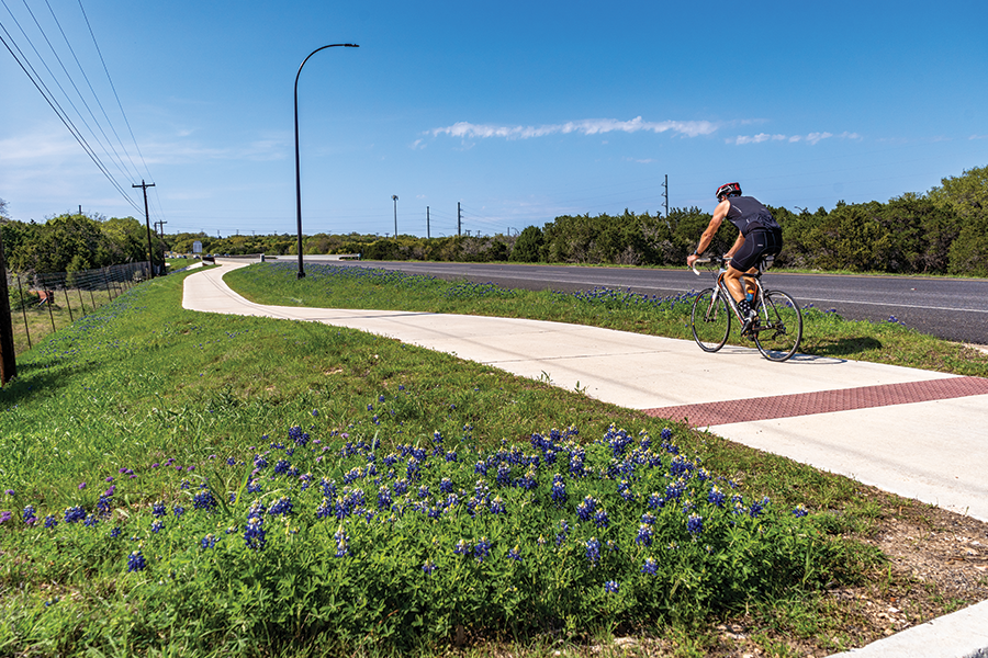
Bicycle trails and maps
Find resources for local bikeway maps and the Bicycle Tourism Trails Study.
Find local bicycle trails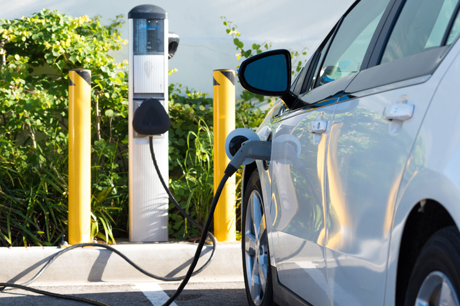
EV charging stations
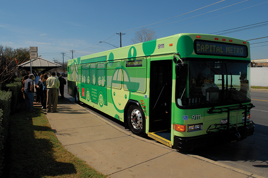
Texas transit agencies
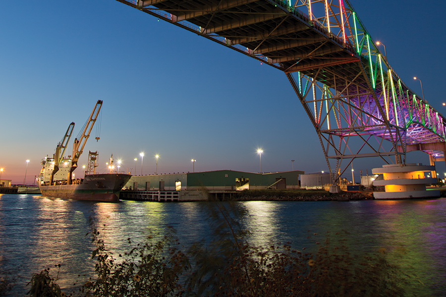
Texas maritime ports


Texas Airport Directory
Toll roads and managed lanes
Texas vehicle registrations, titles, and licenses